
No connectivity? No problem — how GPS and offline mapping make digital trails work anywhere
"We have a problem — our Wi-Fi and mobile data coverage is very patchy and, in some places, non-existent."
Sound familiar? It's one of the most common concerns we hear from National Parks, nature reserves, landscape organisations and rural heritage sites. Here's why it doesn't have to be a barrier.
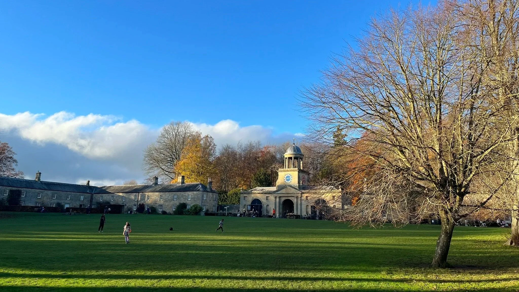
National Trust Wallington, Northumberland — image recognition technology used to trigger location-specific content as visitors explored the estate.
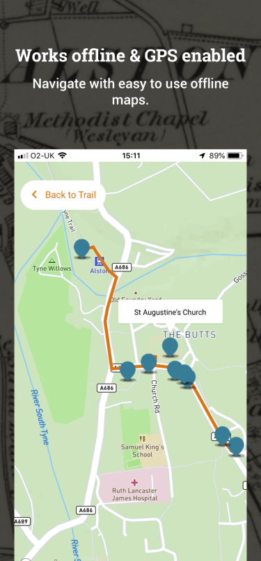
Screenshot of local map and points of interest, Alston Explorer app, North Pennines Area of Outstanding Natural Beauty, Cumbria.
GPS doesn't need mobile data
Location-based apps rely on GPS signals to determine a visitor's location — and the beauty of GPS is that it works independently of Wi-Fi or mobile data. Smartphones receive signals directly from satellites, meaning your digital trail can guide visitors accurately across your site without any connection at all. In Stories of Lynn, GPS triggers location-specific content at 35 points of interest across the town centre — automatically presenting rich multimedia content to visitors as they explore the streets, buildings and history of King's Lynn.
It's worth understanding how GPS performs in more challenging environments, such as heavily wooded areas:
It can take a little longer to get a fix — dense tree canopies can obstruct satellite signals, meaning a device might take slightly longer to lock on.
Accuracy can occasionally be reduced — signals may be weaker in some spots, leading to slight variations in the displayed location.
We always recommend field testing to understand how local conditions affect GPS performance — and we factor this into every project we deliver.
Offline maps — the simple solution
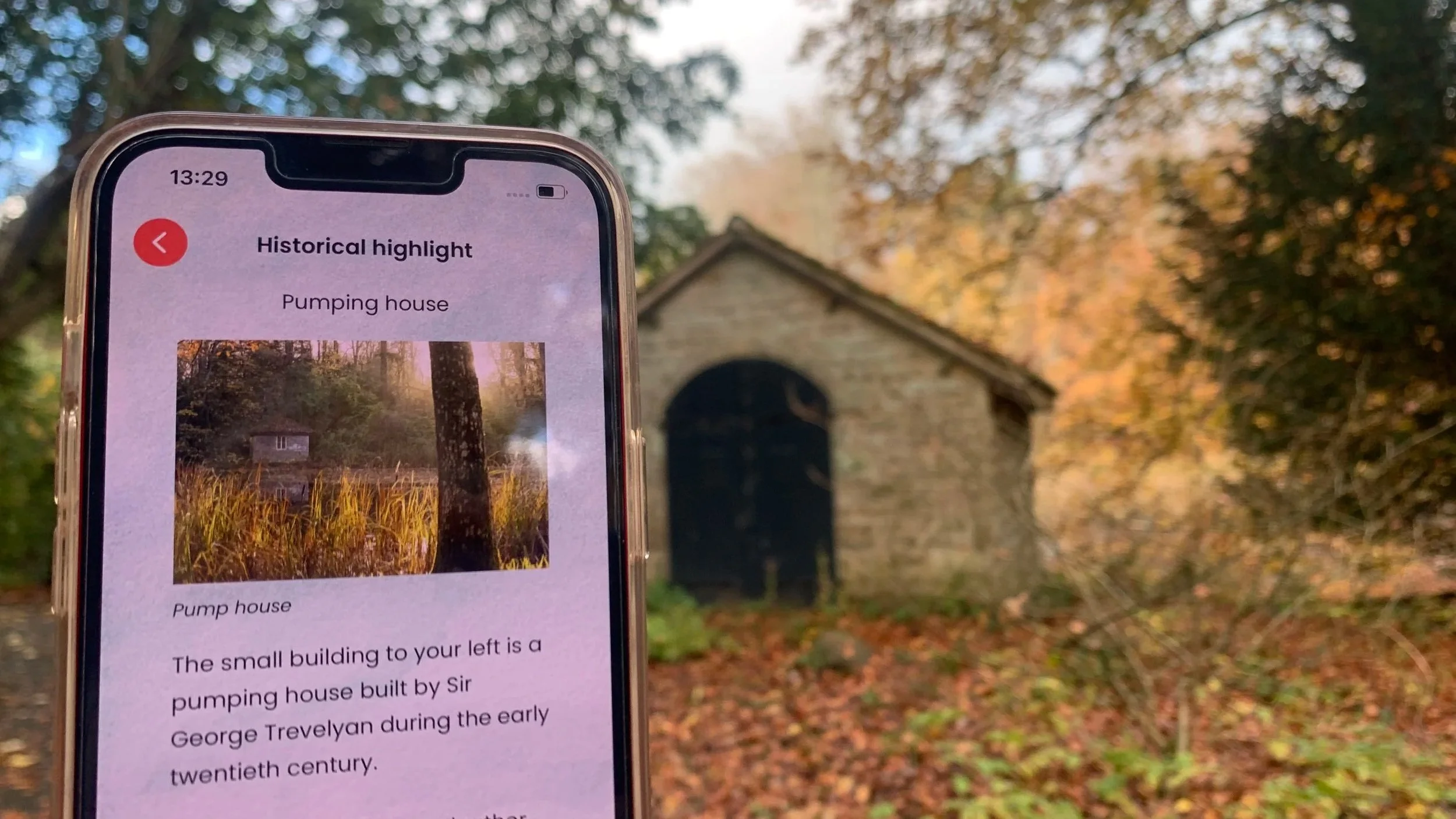
In areas with poor or no connectivity, offline mapping is essential. The solution is straightforward — visitors are prompted to open the app while they have access to Wi-Fi or mobile data before their visit, allowing the map data to download in advance. Once downloaded, the full trail — routes, points of interest and all associated content — is available without any connection. Alston Explorer was designed specifically with this in mind — built for a remote Pennine market town where mobile connectivity can be unreliable, ensuring that poor signal was never a barrier to a great visitor experience.
We use OpenStreetMap and MapBox technologies to create detailed, beautifully branded maps tailored to your trails and your site. Offline map packages are designed to include only the areas relevant to your experience, keeping file sizes manageable without compromising on detail.
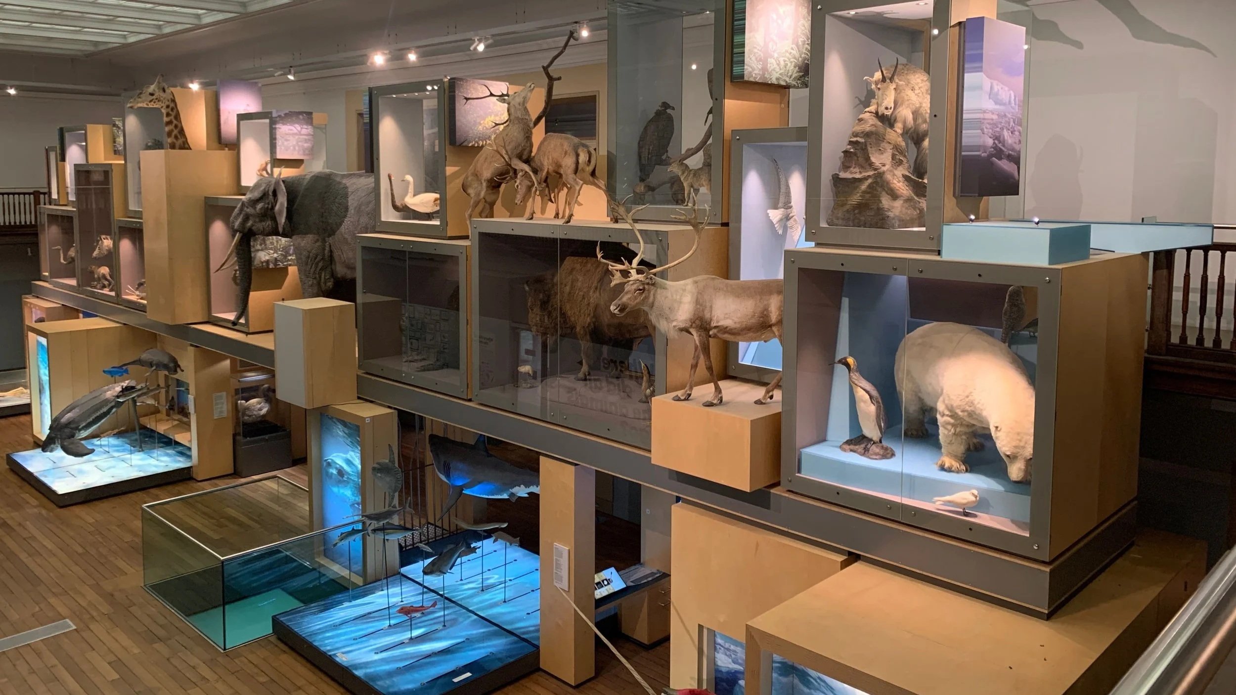
Great North Museum, Newcastle where Bluetooth beacons were use to trigger content relevant to the visitors location.
Bluetooth beacons — for indoor and woodland environments
In environments where GPS signals can be unreliable — think indoor spaces, heavy woodland or underground — Bluetooth beacons offer an excellent alternative for delivering location-specific content. Beacons transmit a dedicated signal that the app detects, triggering the display of targeted content including text, images, audio, video and augmented reality. The Forbidden Corner Quest in North Yorkshire is a perfect example — set in a magical garden with dense tree cover that makes GPS unreliable, Bluetooth beacons were used to deliver location-specific AR content reliably throughout the site. In Stories of Lynn, beacons deliver content across 16 points of interest inside the Stories of Lynn Exhibition and 6 points of interest inside the Town Hall.
Beacons can also be used to deliver personalised messages to different visitor groups. During the welcome sequence, visitors can be asked to identify their group — families with young children, dog walkers, active walkers — and the app then delivers tailored content at each beacon location. It's a powerful way to make a single experience feel genuinely relevant to every visitor.
National Trust Wallington, Northumberland — image recognition technology used to trigger the presentation of locally relevant content at each point of interest along the trail.
Image recognition — triggering content in the right place
Image recognition technology offers another powerful way to deliver location-specific content. By pointing their phone at a specific object, landmark or marker, visitors can unlock relevant content tied to that exact location — whether that's an AR experience, a story, a historic image or additional learning content. In Robin's Lantern Quest at Wallington, visitors used image recognition to find and unlock each lantern along the trail — and to access Learn More content that deepened their engagement with the history and nature of the site long after the quest was complete.
Bringing it all together
Even in the most connectivity-challenged environments, digital trails can deliver rich, location-specific experiences to every visitor. GPS, offline mapping, Bluetooth beacons and image recognition work together to ensure that poor signal is never a barrier to a great visitor experience.
In summary:
GPS pinpoints visitor locations on mapped routes — no mobile data required
Offline maps ensure visitors can access routes and points of interest anywhere
Bluetooth beacons trigger location-specific content in indoor and challenging outdoor environments
Image recognition unlocks location-specific content, AR experiences and learning at the exact moment and place it is most relevant
Thinking about transforming your paper trails into interactive digital experiences? All projects start with a conversation.